Collection: Charts
Paper and digital charts
- Paper: UK & Ireland, North Sea, Baltic Sea, Mediterranean Sea, Atlantic Ocean, Caribbean Sea, Inland Waterways, Leisure Publishers, Maps
- Digital: UK & Ireland/North Sea, Mediterranean Sea, Caribbean Sea, France/Spain/Portugal & the Atlantic Islands

-
C40 Le Croisic to Les Sables d'O lonne (Imray Chart)
Regular price £28.95 GBPRegular price -
C39 Lorient to Le Croisic (Imray Chart)
Regular price £28.95 GBPRegular price -
C38 Anse de Bénodet to Presqu'île de Quiberon (Imray Chart)
Regular price £28.95 GBPRegular price -
C37 Raz De Sein to Bénodet (Imray Chart)
Regular price £28.95 GBPRegular price -
C36 Ile d'Ouessant to Raz de Sein (Imray Chart)
Regular price £28.95 GBPRegular price -
C35 Baie de Morlaix to L'Aber-Il dut (Imray Chart)
Regular price £28.95 GBPRegular price -
C34 Cap D'Erquy to Ile De Batz (Imray Chart)
Regular price £28.95 GBPRegular price -
C33B Channel Islands and North Coast of France (Imray Chart)
Regular price £28.95 GBPRegular price -
C33A Channel Islands (North) (Imray Chart)
Regular price £28.95 GBPRegular price -
C32 Baie de Seine - Le Havre to Cherbourg (Imray Chart)
Regular price £28.95 GBPRegular price -
C31 Dover Strait to Le Havre (Imray Chart)
Regular price £28.95 GBPRegular price -
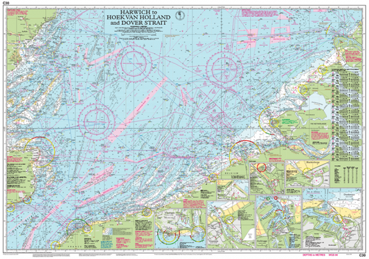
C30 Harwich to Hoek van Holland and Dover Strait (Imray Chart)
Regular price £28.95 GBPRegular price -
C29 Harwich to Whitby (Imray Chart)
Regular price £28.95 GBPRegular price -
C28 Harwich to Wells-next-the-Sea (Imray Chart)
Regular price £28.95 GBPRegular price -
C27 Firth of Forth (Imray Chart)
Regular price £28.95 GBPRegular price -
C26 Ijmuiden to Die Elbe (Imray Chart)
Regular price £28.95 GBPRegular price -
C25 Harwich to River Humber and Holland (Imray Chart)
Regular price £28.95 GBPRegular price -
C24 Flamborough Head to Fife Ness (Imray Chart)
Regular price £28.95 GBPRegular price -
C23 Fife Ness to Duncansby Head (Imray Chart)
Regular price £28.95 GBPRegular price -
C20 Strait of Gibraltar to Arquipélago dos Açores and Islas Canarias (Imray Chart)
Regular price £28.95 GBPRegular price


Collections
-

Navigation Tools
Plotters, Binoculars, Chartwork Instruments, Safety Equipment, Sextants
-

Instruments & Parts
Barographs, Binoculars, Chartwork Instruments, Clocks & Barometers, Flags, Safety Equipment, Sextants, Yacht...
-

World Travel Guides
World Travel Guides by many authors and publishers
-

Treasure Chest of Gifts
You never know what you might find in here... Everything from phone...
-

Christmas Shop
Stocking Fillers, Gifts, Something Special, New Releases, Christmas Best Sellers


