UK taxes included where applicable. Export prices are excluding VAT.
Shipping calculated at checkout.
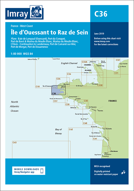
Imray Chart C36 provides precise coverage of the west coast of North Brittany from Île d’Ouessant down to the Raz de Sein. Designed for safe navigation in this tidal and rocky area, it supports both passage planning and close‑quarters pilotage.
Coverage: Île d’Ouessant to Raz de Sein at 1:77 300 for clear coastal navigation
Grid: One‑minute latitude/longitude gridlines to simplify GPS position plotting
Plans: Detailed insets for Le Conquet, Port de Brest, Morgat, Camaret‑sur‑Mer, Douarnenez and Baie de Lampaul (Ouessant)
Harbours: Includes Marina du Moulin Blanc and Brest approaches for accurate entry and berthing
Tides: Integrated tidal stream diagrams to assist timing of passages in strong currents