UK taxes included where applicable. Export prices are excluding VAT.
Shipping calculated at checkout.
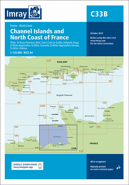
Imray Chart C33B covers the Channel Islands and the adjacent north coast of France, compiled specifically for small craft. This edition integrates the latest official data for safer coastal cruising and cross‑Channel passages.
Coverage: Channel Islands and north Brittany coast with key approaches and harbours
Plans: Detailed insets for St‑Quay‑Portrieux, Binic, Dahouët, Erquy and Saint‑Cast‑Le‑Guildo
Major ports: Separate plans for St‑Malo Approaches, St‑Malo, Granville and St Helier (approaches and harbour)
Updated data: Incorporates latest UKHO and SHOM information plus Imray network inputs
Hydrography: Fully revised bathymetric data and updated wind farm detail for accurate route planning