UK taxes included where applicable. Export prices are excluding VAT.
Shipping calculated at checkout.
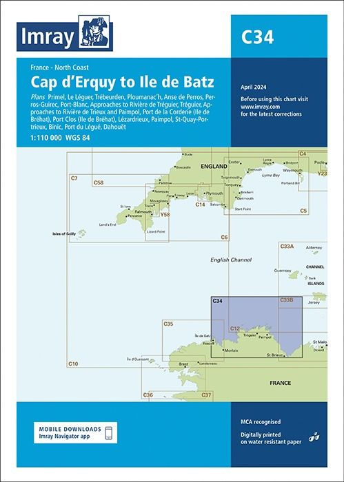
Imray Chart C34 provides detailed coverage from Cap d’Erquy to Île de Batz, with numerous large‑scale plans to support accurate pilotage into key rivers and harbours. Ideal for yachts and motorboats cruising the North Brittany coast.
Coverage: Coastal chart complemented by multiple local plans for critical approaches
River access: Dedicated plans for Le Léguer, Rivière de Tréguier and Rivière de Trieux
Harbour detail: Insets for Trébeurden, Ploumanac’h, Perros‑Guirec, Port‑Blanc and Lézardrieux
Island ports: Specific plans for Port de la Corderie and Port Clos (Île de Bréhat)
Additional ports: Includes Anse de Perros, Paimpol, St‑Quay‑Portrieux, Binic, Port du Légué and Dahouët for confident entry and departure