UK taxes included where applicable. Export prices are excluding VAT.
Shipping calculated at checkout.
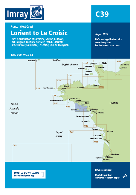
Imray nautical chart C39 covers the coastline from Lorient to Le Croisic, providing accurate data for safe coastal navigation and harbour approaches in southern Brittany.
Coastal scope: Lorient to Le Croisic with continuation of La Vilaine at 1:80 000 for extended route planning
Harbour and bay plans: Sauzon, Le Palais, Port Haliguen, La Trinité-sur-Mer, Port du Crouesty, Piriac-sur-Mer, La Turballe, Le Croisic and Baie de Pouliguen
Latest data: 2017 edition incorporating updated depths and fully revised firing practice areas
Port developments: Includes harbour improvements at La Turballe for accurate pilotage
Clear navigation aids: Improved specification with coloured light flashes for better night and low-visibility use
Designed for yachtsmen and professional mariners requiring dependable, large-scale coverage of this popular cruising area.