UK taxes included where applicable. Export prices are excluding VAT.
Shipping calculated at checkout.
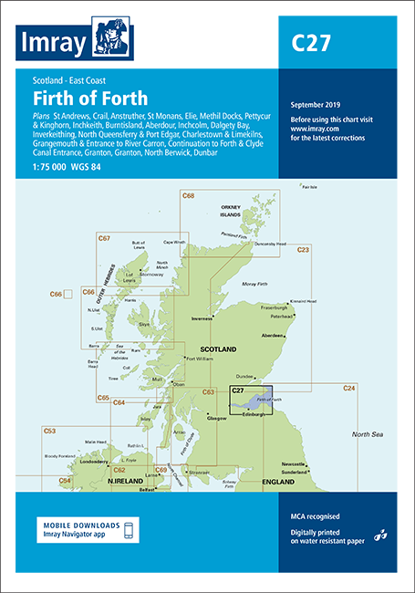
Imray Chart C27 Firth of Forth provides precise coverage for safe navigation across this key Scottish cruising area. Ideal for planning passages and detailed pilotage into harbours and marinas.
Coverage: Firth of Forth with detailed plans from St Andrews to Dunbar, including Anstruther, Methil Docks, Granton and more
Harbour plans: Multiple insets at scales from 1:7 500 to 1:25 000 for accurate close‑quarters navigation
Updated data: Latest depth surveys, additional tidal stream information and coloured light flashes for clear night recognition
Practical format: Designed specifically for small craft and yacht use, supporting both passage planning and entry
A reliable planning and pilotage tool for yachtsmen and motor cruisers operating in the Firth of Forth.