UK taxes included where applicable. Export prices are excluding VAT.
Shipping calculated at checkout.
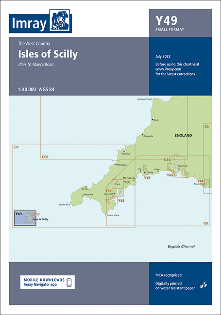
This Imray Y49 chart provides clear, small-format coverage of the Isles of Scilly, including a detailed plan of St Mary’s Road for accurate local pilotage.
Main coverage: Isles of Scilly for coastal approaches and inshore navigation
Included plan: St Mary’s Road at 1:25 000 for close-quarters manoeuvring and anchoring
Format: A2 Y series chart, compact and convenient for chart tables on smaller craft
Chart source: Direct replication of sheet 2400.3 from the Imray 2400 West Country Chart Pack
Professional standard: Produced to Imray’s trusted nautical chart specifications