UK taxes included where applicable. Export prices are excluding VAT.
Shipping calculated at checkout.
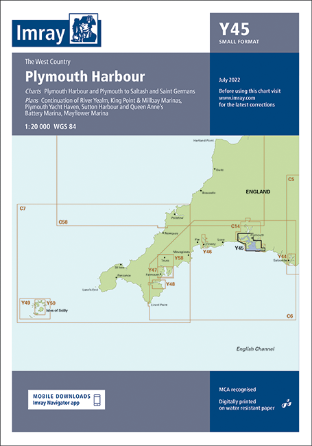
Imray Y45 Plymouth Harbour is a compact, accurate paper chart for coastal cruising, approaches and marina entries around Plymouth. Designed for skippers who need clear, reliable navigation data.
A2 small-format Y series chart for easy handling at the chart table or cockpit
Coverage of Plymouth Harbour, River Yealm continuation, Plymouth to Saltash and Saint Germans (1:20 000)
Detailed plans for Mayflower, King Point & Millbay, Sutton Harbour, Queen Anne’s Battery and Plymouth Yacht Haven
Direct reproduction of Imray 2400.13 & 2400.14 from the West Country Chart Pack for consistency with primary passage charts