UK taxes included where applicable. Export prices are excluding VAT.
Shipping calculated at checkout.
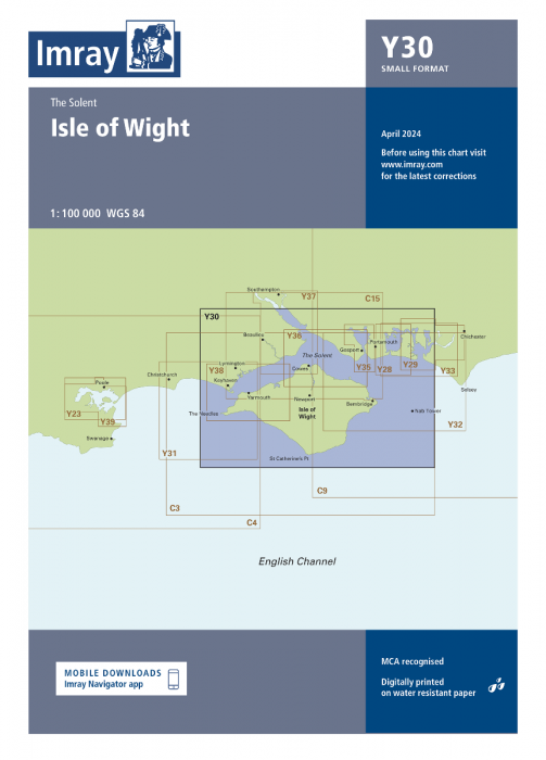
The Y30 Isle of Wight Imray chart provides accurate coastal coverage of the Isle of Wight and the Solent with approaches from east and west, ideal for coastal cruises and race planning. Designed to deliver clear, dependable information for small craft.
Area coverage: Isle of Wight, Solent and both eastern and western approaches
Updated UKHO data: Uses the latest official hydrographic information for safe route planning
Bathymetric surveys: Current depth contours and seabed detail for precise navigation
Racing buoy information: Includes the latest racing marks used in Solent events