NV Charts
SKU:YOT3551
Regular price
£95.00 GBP
Regular price
Sale price
£95.00 GBP
UK taxes included where applicable. Export prices are excluding VAT.
Shipping calculated at checkout.
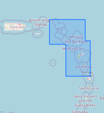
Plan and sail the Leeward Islands professionally with the NV Atlas Caribbean 12.2 – Anguilla to Dominica.
- Complete set with 3 passage charts, 13 coastal charts and 16 detailed harbor plans
- Supplied as paper charts plus digital versions for flexible cockpit and tablet use
- Fine contours and colour‑graded depth lines for quick recognition of reefs and shallow areas
- Handy 23½" x 16½" format in a durable plastic envelope for protection and easy stowage
- Clear coastal topography, towns and street plans to assess shoreside facilities
- Red numbered GPS waypoints (WGS 84) and metric depths for accurate navigation
- Large‑scale approaches simplify anchoring and marina entries throughout the Leewards
A comprehensive chart kit for safe passage planning and precise pilotage in the Eastern Caribbean.
Share
View full details