UK taxes included where applicable. Export prices are excluding VAT.
Shipping calculated at checkout.
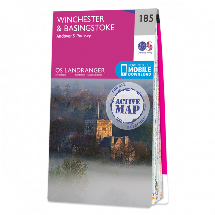
Winchester and Basingstoke area including Andover & Romsey and the westernmost part of the South Downs National Park and a section of the South Downs Way, on a paper version of map No. 185 from the Ordnance Survey’s Landranger series at 1:50,000, with contoured and GPS compatible topographic mapping plus tourist information.
Our Landranger Active maps are the weatherproof option, so you never get caught out in a storm.