1
/
of
1
NV Charts
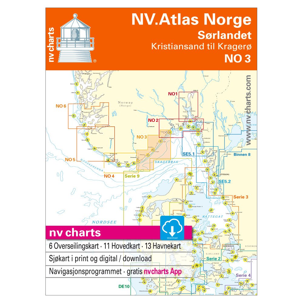
NV Atlas Norway NO 3 - Sørlandet Ost, Kristiansand bis Kragerø
NV Atlas Norway NO 3 - Sørlandet Ost, Kristiansand bis Kragerø
SKU:YOT0006NO3
Regular price
£74.99 GBP
Regular price
Sale price
£74.99 GBP
UK taxes included where applicable. Export prices are excluding VAT.
Shipping calculated at checkout.
The NV Atlas Norway NO 3 offers complete coverage of Sørlandet East from Kristiansand to Kragerø, combining paper and digital charts for reliable navigation in this intricate coastal area.
- Combo pack: Includes all necessary overview, coastal and detailed charts for the cruising region
- Digital access: Use the electronic nv.digital charts with the free nv charts App on common operating systems
- Official Norwegian data: Based on Norwegian Hydrographic Office information plus harbor plans from “Norske Los”
- Extra detail: Specially charted fairways such as “Blind Leia” and the Jomfruland area highlighted
- Skipper‑friendly layout: Clear sheet cuts and optimized scales (e.g. 1:40,000 coastal charts) make harbors and anchorages easy to find
A trusted atlas for yachtsmen navigating the varied and rocky coast of southern Norway.
Share