UK taxes included where applicable. Export prices are excluding VAT.
Shipping calculated at checkout.
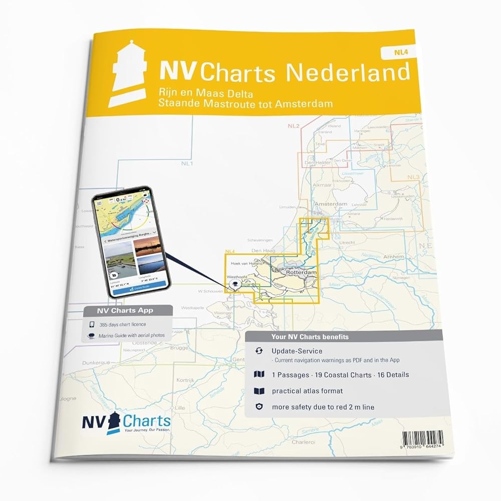
The NV Atlas Nederland NL 4 – Rijn & Maas Delta is a comprehensive chart folio for the waters from Amsterdam via Rotterdam to the Maas Delta. It is designed for precise navigation on the southern section of the Staande Mastroute and in tide-affected river systems.
Passage and detailed charts for Amsterdam, Rotterdam and Maas Delta waterways for safe route planning
Clear harbor and marina plans to identify approaches, berths and anchorages quickly
Marked fairways, traffic separation schemes and commercial shipping routes for situational awareness
Tidal and current information (also available in the NV Charts App) to support timing and course decisions
Logical sheet layout with accurate scales for professional, paper-based navigation
Ideal for yacht skippers and motorboat crews operating in busy inland and estuarine waters.