NV Charts
SKU:YOT0006FR6
Regular price
£64.99 GBP
Regular price
Sale price
£64.99 GBP
UK taxes included where applicable. Export prices are excluding VAT.
Shipping calculated at checkout.
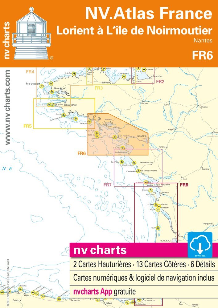
Detailed chart atlas for the French Atlantic from Lorient to Île de Noirmoutier and Nantes, suited to both cruising sailors and motor boaters.
- Bound atlas in 30 x 42 cm format for accurate plotting and clear coastal detail
- Covers coastal stretches, approaches to estuaries and main harbours including Nantes area
- Includes harbour and anchorage plans to support safe mooring and pilotage
- Combination pack with NV App chart access for synchronized paper and digital use
- Digital charts and navigation software assist in route calculation and track recording
A dependable navigation reference for exploring Brittany’s southern coast and the Loire estuary.
Share
View full details