NV Charts
SKU:YOT0006FR5
Regular price
£64.99 GBP
Regular price
Sale price
£64.99 GBP
UK taxes included where applicable. Export prices are excluding VAT.
Shipping calculated at checkout.
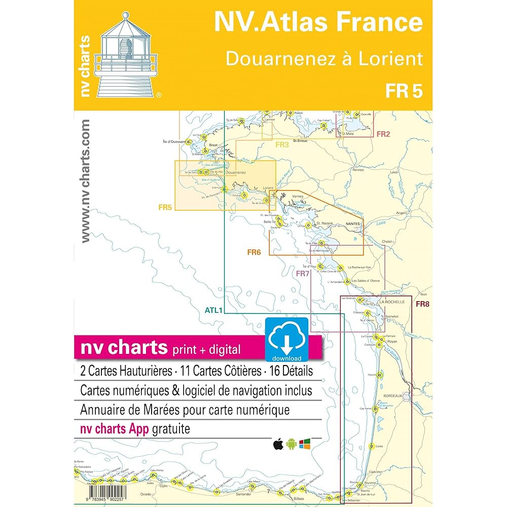
Chart atlas for the section from Douarnenez to Lorient, providing reliable coverage of southern Brittany’s demanding coastline.
- 30 x 42 cm bound format for precise chart work and easy cockpit or chart table handling
- Includes passage and coastal charts with key waypoints for safe coastal navigation
- Detailed harbour plans to support entry into ports and marinas between Douarnenez and Lorient
- Combination pack with NV App access for integrated paper backup and mobile navigation
- Digital charts and navigation software enable efficient planning and situational awareness
Well suited for cruising skippers operating in tidal and rocky waters of Brittany.
Share
View full details