UK taxes included where applicable. Export prices are excluding VAT.
Shipping calculated at checkout.
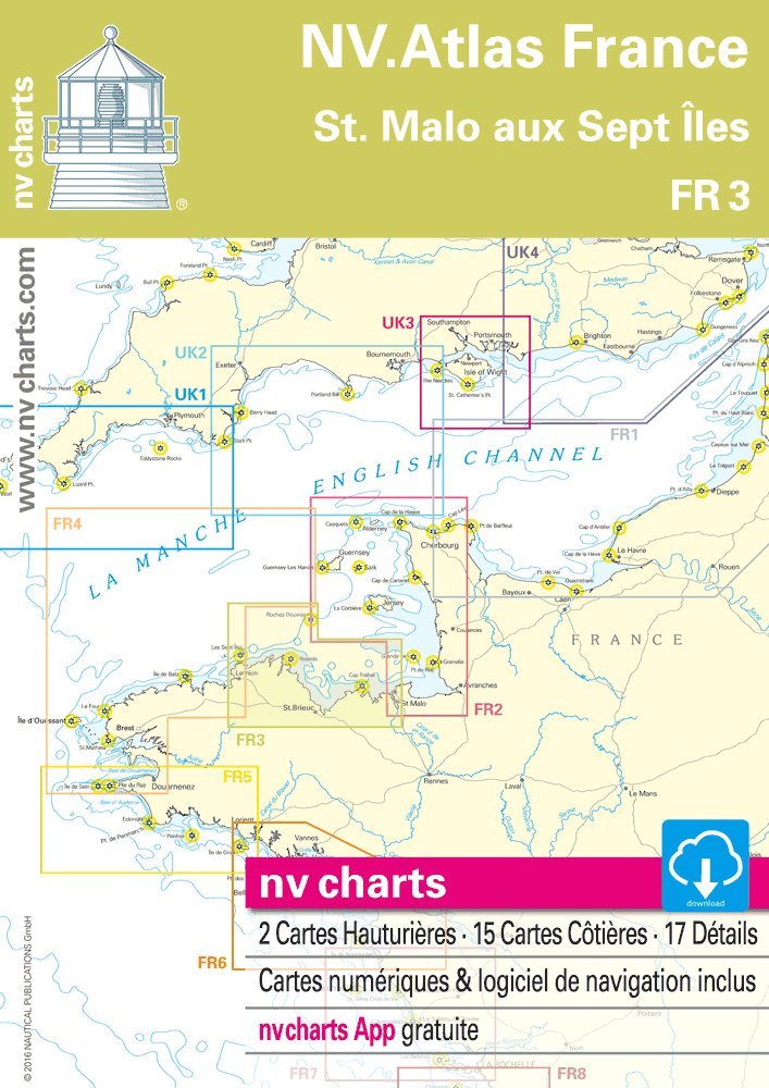
The NV Atlas France FR 3 – St. Malo to Les Sept Îles provides detailed nautical charts for one of Brittany’s most frequented cruising grounds. Optimized for sport boats and cruising yachts, it supports safe and efficient route planning.
Coverage: From St. Malo to Les Sept Îles along the north Brittany coast
Multiple scales from overview to harbor plans for accurate approaches
Clearly marked depths, buoys, traffic separation zones and restricted areas
Practical, splash-resistant plastic wallet for organized chart storage
Digital charts included for nv Charts app and PC via enclosed product ID code
A precise, up-to-date chart set for skippers navigating the Channel coast of France.