UK taxes included where applicable. Export prices are excluding VAT.
Shipping calculated at checkout.
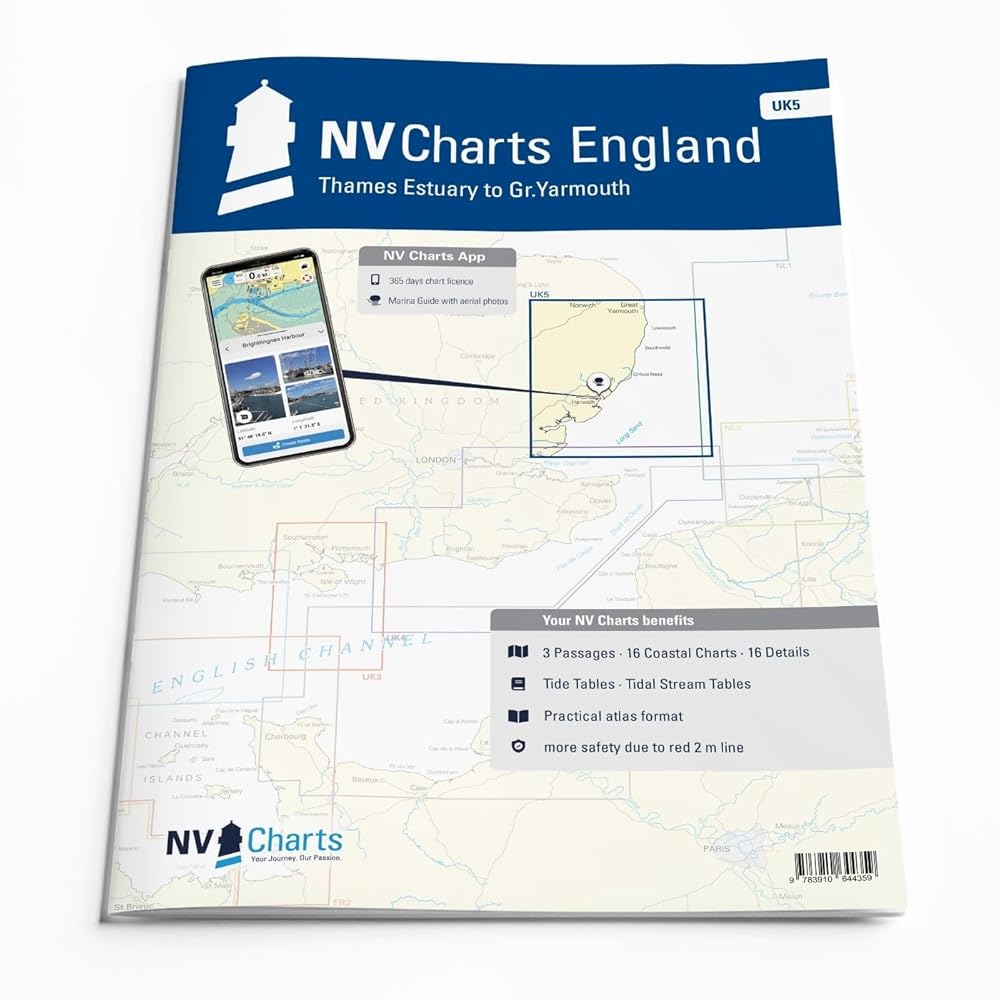
The NV Atlas England UK 5 is designed for safe navigation from the Thames Estuary to Great Yarmouth, ideal for passages from the Netherlands or along England’s east coast.
Area coverage: Suffolk and Essex coasts including the Thames Estuary, Harwich, Ipswich, Lowestoft and approach routes further north
Official data: Based on United Kingdom Hydrographic Office (UKHO) information with additional harbor plans
Practical layout: Clear structure for quick identification of approaches, harbors and anchorages
Tidal information: Tide tables and tidal charts included for precise planning
App integration: Navigator notes also appear in the NV charts App
A professional chart pack for coastal cruising and longer routes towards Scotland.