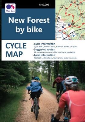
New Forest by Bike
New Forest by Bike
SKU:MAP4000
Regular price
£5.00 GBP
Regular price
Sale price
£5.00 GBP
UK taxes included where applicable. Export prices are excluding VAT.
Shipping calculated at checkout.
Cycle Map: New Forest by Bike
The New Forest by Bike map information includes:
- The entire network of cycle paths, bridleways and byways
- All Forestry Commission cycle marker posts
- National Cycle Route 2
- 12 suggested rides recommended by local cycle hire operators to suit all ages and abilities from families with young children to experienced cyclists including nine largely off-road rides and three all-road routes
- Car parks indicating those that are the most cycle-friendly – where it’s easy to unload bikes and which lead straight onto the cycle tracks
- All main New Forest Tour bus stops for those wishing to use public transport
- Ferry routes
- Pubs, cafes and campsites
- Key sites, visitor attractions, viewpoints, picnic sites, nature reserves and beaches
- Inset town plans of Brockenhurst, Burley, Lyndhurst, Beaulieu and Lymington showing the recommended routes cyclists should take when heading out on a ride as well as other useful information like cycle hire shops, one-way streets and car parks
- The entire network of footpaths and other public rights of way including the long-distance Solent Way