UK taxes included where applicable. Export prices are excluding VAT.
Shipping calculated at checkout.
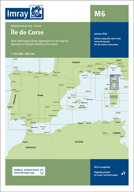
The Imray M6 Île de Corse nautical chart provides comprehensive coverage of Corsica, supporting both coastal cruising and harbour entry with precise, up‑to‑date detail.
Includes key harbour and approach plans: Macinaggio, Bastia, Calvi, Ajaccio, Propriano, Bonifacio, Îles Lavezzi
Practical scales from 1:10 000 to 1:50 000 for accurate pilotage and anchorage selection
Incorporates the latest depth surveys where available for improved under‑keel clearance planning
Shows the ‘In the Corsica Channel’ Traffic Separation Scheme for safe routeing
Enhanced specification with coloured light flashes for clear night navigation
General updating of coastline, aids to navigation, and harbour developments
A dependable Corsica chart for both local cruising and passage planning.