UK taxes included where applicable. Export prices are excluding VAT.
Shipping calculated at checkout.
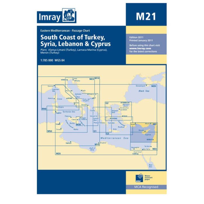
Imray M21 South Coast of Turkey, Syria, Lebanon & Cyprus is a comprehensive cruising and passage chart for the Eastern Mediterranean. Produced on waterproof, rip‑proof paper, it is built for regular cockpit use by serious yachtsmen.
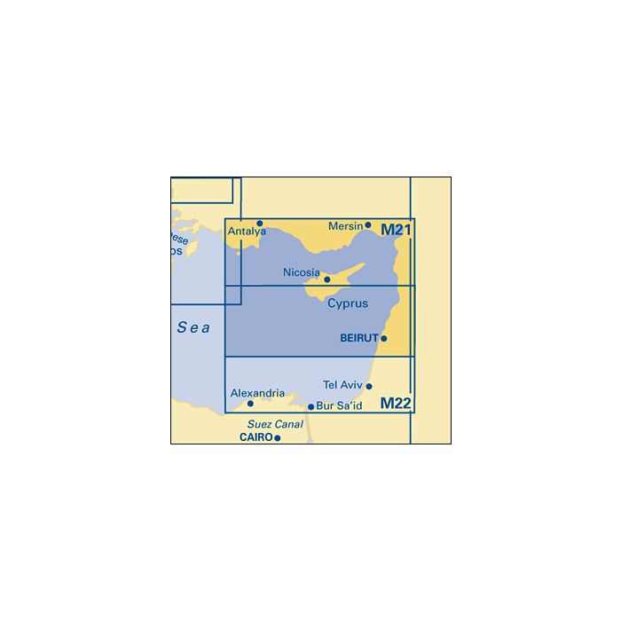
Coverage & scale: Regional overview at 1:785,000 from Turkey’s south coast across Syria, Lebanon and Cyprus for coastal and offshore planning
Harbour plans: Insets for Larnaca Marina, Mersin and Alanya Limani with symbols for fuel, water, marinas and chandlers to assist port selection
Construction: Waterproof, tear‑resistant sheet (640 x 900 mm), folded in a protective wallet for durability on board
Cartography: Metre soundings, colour‑shaded depth contours, coastal detail and IALA System A buoyage clearly presented
Datum & corrections: WGS84‑compatible positions and corrections printed to April 2023, with further updates available from Imray
An authoritative planning and cockpit chart for extended Eastern Mediterranean cruising.