UK taxes included where applicable. Export prices are excluding VAT.
Shipping calculated at checkout.
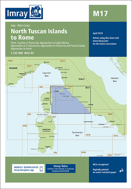
Imray M17 North Tuscan Islands to Rome is a comprehensive nautical chart for the busy cruising area between the Tuscan archipelago and the port of Rome.
Coverage: North Tuscan Islands to Rome with plans of Scarlino to Punta Ala, Giglio Marina, Civitavecchia, Fiumicino & Fiuma Grande, and Anzio
Latest depths: Soundings updated to the most recent known survey data
Port information: Harbour developments at Civitavecchia and Fiumicino clearly shown
Safety features: Corsican Channel TSS, restricted approach to Anzio and Marine Protected Areas marked
Improved visibility: Coloured light flashes for safer night approaches
Ideal as a primary planning and cockpit chart for yachts and motor cruisers.