Imray
SKU:YOT2080F
Regular price
£23.95 GBP
Regular price
Sale price
£23.95 GBP
UK taxes included where applicable. Export prices are excluding VAT.
Shipping calculated at checkout.
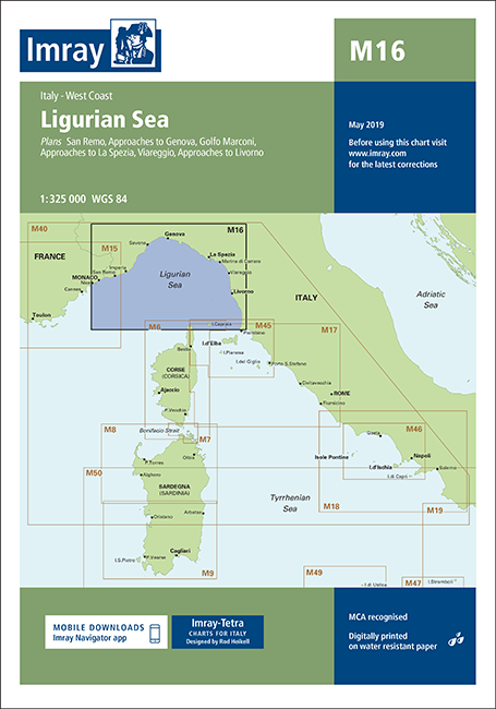
Imray M16 Ligurian Sea offers detailed coverage of the northern Tyrrhenian/Ligurian coast, supporting accurate cruising between France and Tuscany.
- Coverage: Ligurian Sea with plans of San Remo, approaches to Genova, Golfo Marconi, approaches to La Spezia, Viareggio and approaches to Livorno
- Updated safety areas: Latest firing practice zones clearly indicated
- Environmental information: Current Marine Reserve limits shown for compliant navigation
- Port developments: Recent harbour works at Livorno, La Spezia and Golfo Marconi included
A precise, up-to-date chart for passage planning and coastal pilotage in this busy cruising region.
Share
View full details