UK taxes included where applicable. Export prices are excluding VAT.
Shipping calculated at checkout.
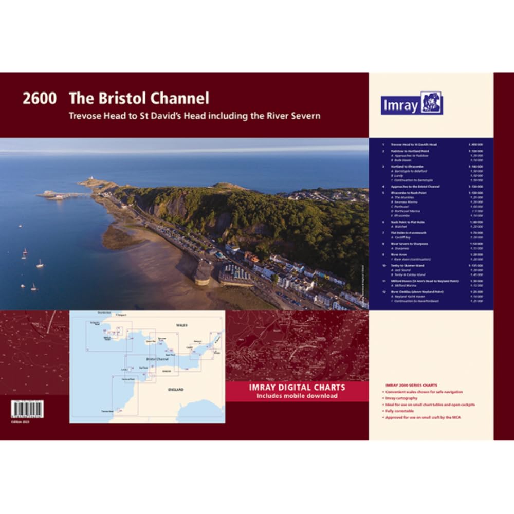
The Imray 2600 Bristol Channel wirobound chart pack delivers complete coverage from Trevose Head and St David’s Head to the Severn and Avon. Ideal for yachts and motor craft operating in this strong‑tide area.
12 A2 sheets with passage and approach charts for Lundy, Milford Haven, Tenby, Swansea, Cardiff and more
Detailed river coverage for Severn, Sharpness and Avon with continuation plans for key reaches
WGS 84 compatible scales optimised for coastal navigation and harbour pilotage
Includes dedicated plans for marinas and ports such as Padstow, Watchet and Milford Marina
Supplied wirobound in a durable plastic wallet plus voucher for free Imray digital charts in Imray Navigator
A precise, practical atlas for safe passage planning in the Bristol Channel.