UK taxes included where applicable. Export prices are excluding VAT.
Shipping calculated at checkout.
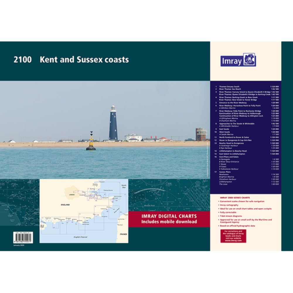
Navigate the Kent and Sussex coasts and adjacent Thames waters with the upgraded Imray 2100 chart pack. This A2 folio brings together the latest UKHO surveys and harbour developments for precise coastal and estuary navigation.
A2 wirobound pack with expanded sheet count in a durable plastic wallet
Passage charts at 1:120 000 from Thames Estuary south to the Isle of Wight
Enhanced large-scale coverage of the Swale, Medway and Thames to Tower Bridge
Updated plans for Dover, Calais, Brighton, Newhaven, Ramsgate and more
Incorporates latest bathymetric surveys for safer pilotage and anchoring
Use this single pack for planning, inshore passages and detailed harbour approaches.