Imray
SKU:YOT3028
Regular price
£23.95 GBP
Regular price
Sale price
£23.95 GBP
UK taxes included where applicable. Export prices are excluding VAT.
Shipping calculated at checkout.
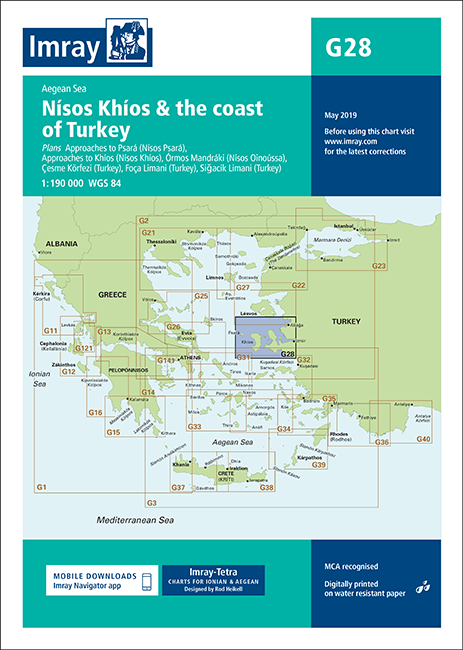
Imray G28 provides detailed coverage of Nísos Khíos, Nísos Psará and the adjacent Turkish coast for safe passage planning.
- Coverage: Nísos Khíos, Nísos Psará, Órmos Mandráki, Çesme Körfezi, Foça Limani and Sigaçik Limani
- Traffic separation: Updated TSS schemes for Izmir Körfezi, Çandarli Körfezi and Nemrut Koyu clearly shown
- Survey data: Revised depths, harbour developments and latest bathymetric information applied
- Navigation safety: Latest restricted areas, marine farms and AIS transmitter positions included
- Format: Imray chart on durable, water-resistant paper for regular onboard use
Share
View full details