UK taxes included where applicable. Export prices are excluding VAT.
Shipping calculated at checkout.
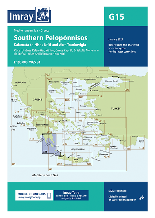
The Imray G15 Southern Peloponnisos chart provides accurate and practical coverage for passages around the southern capes and approaches to key harbours. Designed for cruising sailors, it delivers a clear overview supported by essential large-scale plans.
Chart scale: 1:190 000 for balanced coastal overview and pilotage planning
Included plans: Liménas Kalamátas, Yíthion, Órmos Kapsáli, Dhiakofti, Monemvasía (Yéfira) and Nísos Andikíthera to Nísos Kríti
Updated data: Incorporates latest official bathymetric surveys and Imray network corrections
Small-craft focus: Highlights anchorages, facilities and inlets not shown on many official charts
Construction: Printed on tough, water-resistant Pretex paper for reliable use on deck
An ideal companion to Imray pilot books for safe and efficient cruising in the Southern Peloponnisos.