Imray
SKU:YOT3011
Regular price
£23.95 GBP
Regular price
Sale price
£23.95 GBP
UK taxes included where applicable. Export prices are excluding VAT.
Shipping calculated at checkout.
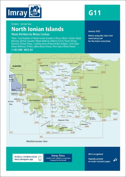
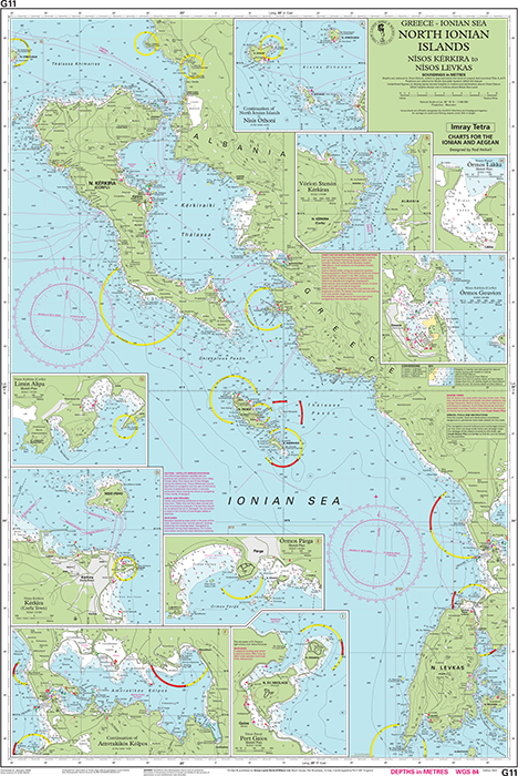
Imray G11 North Ionian Islands is a professional small-craft chart covering the cruising waters from the North Ionian Islands to Nisís Othoní.
- Coverage: North Ionian Sea with detailed plans of Corfu, Paxoí, Párga and Amvrakikós Kólpos
- Scales: From 1:185 000 overview to 1:7 500 harbour plans for precise pilotage
- Data: Combines latest official hydrographic surveys with Imray and Heikell field updates
- Detail: Shows anchorages, facilities and inlets often missing from official charts
- Material: Printed on tough, water-resistant Pretex for durability on board
Share
View full details