UK taxes included where applicable. Export prices are excluding VAT.
Shipping calculated at checkout.
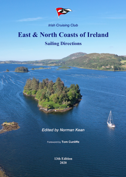
Authoritative pilot book for the East and North coasts of Ireland, from Kilmore Quay to Bloody Foreland via Dublin, Carlingford, Strangford and Belfast Loughs, Rathlin Island and Lough Swilly.
A4 softcover, 224 pages for clear, durable use on board
101 colour plans to support precise passage and port entry planning
379 photographs (including 61 new drone images) for reliable visual identification
Text fully revised for navigational aids, harbour facilities and shoreside services
Coverage of 163 ports, harbours and anchorages, including new and improved facilities
Incorporates latest INFOMAR and hydrographic data, highlighting previously uncharted dangers
New and expanded tidal stream, co-tidal and co-range charts for managing complex local tides