UK taxes included where applicable. Export prices are excluding VAT.
Shipping calculated at checkout.
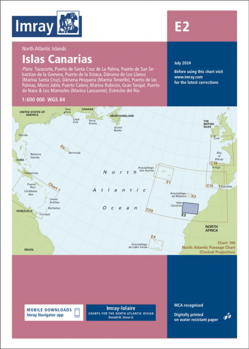
Imray E2 Islas Canarias is a high‑quality small‑craft nautical chart for the Canary Islands, combining modern survey data with trusted cruising information.
Coverage: Major ports and marinas including Tazacorte, Santa Cruz, La Estaca, San Sebastián, Las Palmas, Morro Jable, Gran Tarajal, Marina Rubicón, Puerto Calero and Puerto de Naos/Los Mármoles
Scales: Detailed harbour plans (to 1:7 500) plus wider‑area coverage for inter‑island passages
Data: Latest official bathymetric surveys integrated with over 60 years of Imray‑Iolaire cruising input
Construction: Finished harbour works at Puerto de Naos & Los Mármoles and Playa Blanca (Lanzarote) shown
Material: Printed on durable, water‑resistant Pretex paper for long service afloat
A trusted reference for planning and executing cruises throughout the Canary Islands.