Maptech
SKU:PIL0996
Regular price
£129.95 GBP
Regular price
Sale price
£129.95 GBP
UK taxes included where applicable. Export prices are excluding VAT.
Shipping calculated at checkout.
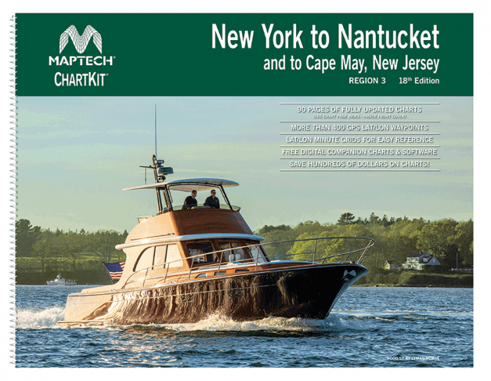
Overview: 18th Edition
Format: Folio - A2 Size - Wirobound; Scale: 1:1(Various)
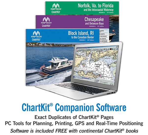
Maptech's ChartKits® are full-color reproductions of NOAA charts bundled together in large cruising regions.
ChartKits® have been a mainstay of boating for generations—more than 1 million ChartKits® have been sold in the past 30 years!
90 Chart Pages
- A Great Value You'll save up to 90% compared to the cost of purchasing individual government charts.
- The Perfect Size - Large enough to plot routes; small enough to fit on your lap.
- Easy to Use - Pre-plotted waypoints and lat/long grids for your GPS; magnetic courses for your compass.
- Fully Referenced - Geographic and alphabetical indexes quickly point you to the right page.
- Reliable - A great primary or secondary navigational reference.
- No Batteries Required!
Share
View full details