UK taxes included where applicable. Export prices are excluding VAT.
Shipping calculated at checkout.
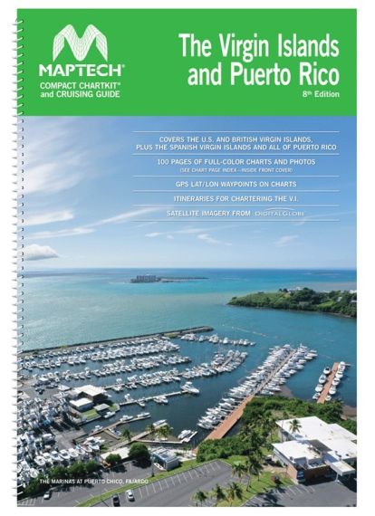
Covers the U.S and British Virgin Islands (BVI), plus the Spanish Virgin Islands and all of Puerto Rico.
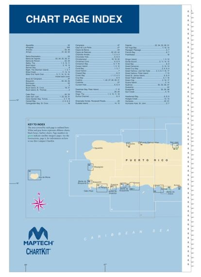
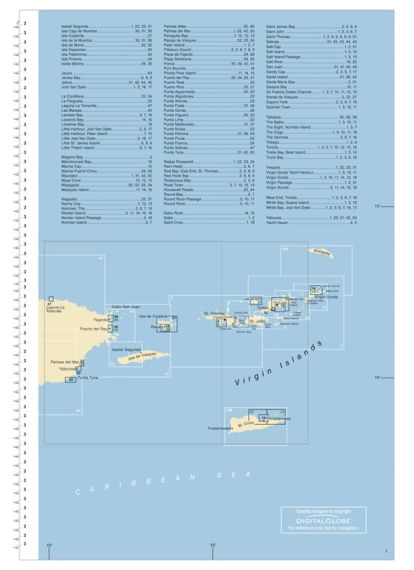
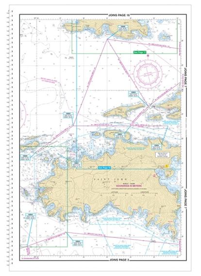
FULL–SIZED FEATURES in a COMPACT–SIZED BOOK! Announcing a new, smaller format favored by boaters chartering and cruising in the US Virgin Islands, British Virgin Islands and Puerto Rico. The convenient 12¼ x 18" spiral-bound format has 100 pages of detailed charts, satellite images and cruising information including:
• Marine Facility Locations and Amenities
• “Reading the Water” Advice and Information
• Helpful Satellite Imagery – an excellent supplement to the nautical charts
• Customs and Immigration Procedures
• Map with Sample Itineraries for Chartering in the Virgin Islands