UK taxes included where applicable. Export prices are excluding VAT.
Shipping calculated at checkout.
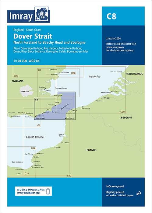
The Imray C8 Dover Strait Chart provides comprehensive coverage from North Foreland to Beachy Head and Boulogne, designed for safe navigation through one of the busiest sea lanes in the world.
Coverage North Foreland–Beachy Head and Boulogne – ideal for cross-Channel and coastal passages
Harbour plans included – Sovereign Harbour, Rye, Folkestone, Dover, River Stour entrance, Ramsgate, Calais and Boulogne-sur-Mer
Latest UKHO data and bathymetric surveys – accurate depths and updated contours
Includes recent harbour developments at Dover – reflects current layouts and facilities
Rescaled main chart – increased coverage with clear, professional-grade cartography