UK taxes included where applicable. Export prices are excluding VAT.
Shipping calculated at checkout.
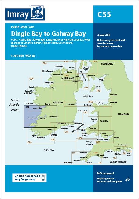
The Imray C55 Dingle Bay to Galway Bay nautical chart provides precise coverage of Ireland’s west coast from Dingle Bay to Galway Bay for cruising yachts and motor vessels.
Coverage: Coastal chart from Dingle Bay northwards to Galway Bay, suitable for passage planning and approach
Included plans: Cashla Bay, Galway Bay, Galway Harbour, Kilronan (Aran Islands), River Shannon to Limerick, Kilrush, Foynes Harbour, Fenit Island and Dingle Harbour
Hydrographic detail: Revised depths throughout key areas including Cashla, Galway, Kilronan, Fenit and Dingle
Edition updates: 2015 edition showing completed harbour developments at Kilronan and general cartographic updating for dependable use