UK taxes included where applicable. Export prices are excluding VAT.
Shipping calculated at checkout.
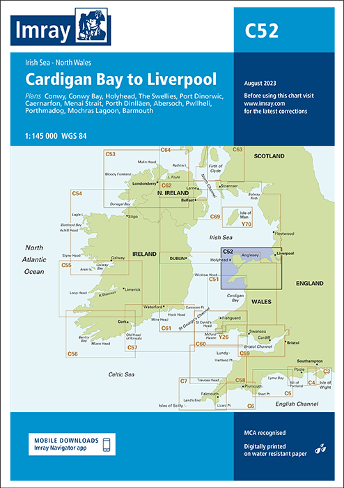
The Imray C52 Cardigan Bay to Liverpool nautical chart offers detailed coverage of the Irish Sea from Cardigan Bay up to Liverpool Bay, designed for cruising and passage planning.
Coverage: Coastal waters from Cardigan Bay northwards, including approaches towards Liverpool and the north Wales coast
Included plans: Conwy, Conwy Bay, Holyhead, The Swellies, Port Dinorwic, Caernarfon, Menai Strait, Porth Dinllaen, Abersoch, Pwllheli, Porthmadog, Mochras Lagoon and Barmouth
Pilotage detail: Large‑scale harbour and strait plans support precise pilotage in confined and tidal waters
Professional standard: Clear cartography and recognised Imray format trusted by yacht skippers and commercial operators alike