UK taxes included where applicable. Export prices are excluding VAT.
Shipping calculated at checkout.
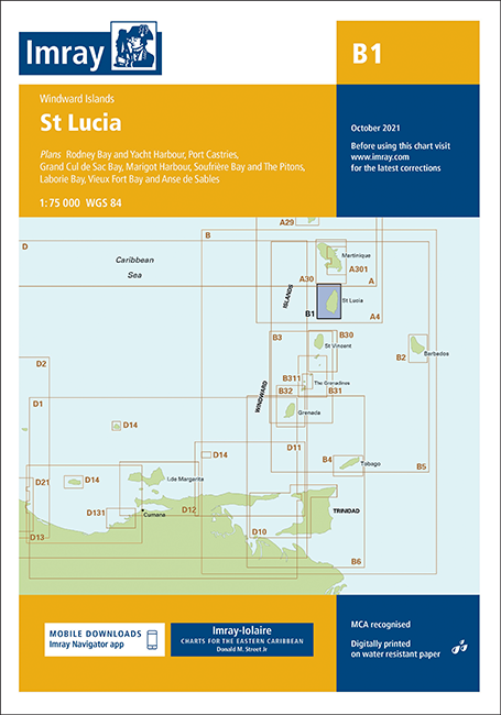
Comprehensive Imray chart for St Lucia, providing accurate coverage for coastal cruising and harbour approaches.
Island coverage: Full St Lucia coastline with anchorages, marinas and facilities marked
Detailed plans: Rodney Bay & Yacht Harbour, Port Castries, Grand Cul de Sac Bay, Marigot Harbour, Soufrière Bay & The Pitons, Laborie Bay, Vieux Fort Bay & Anse de Sables
Proven reliability: Combines latest official survey data with over 60 years of cruising research
Up-to-date detail: Includes recent bathymetric surveys and small-craft information
Durable format: Printed on water‑resistant Pretex paper for repeated cockpit use