ANWB
SKU:ANWBADAM
Regular price
£11.99 GBP
Regular price
Sale price
£11.99 GBP
UK taxes included where applicable. Export prices are excluding VAT.
Shipping calculated at checkout.
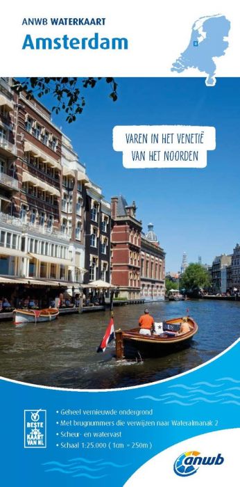
Ensure precise navigation on Amsterdam’s busy waterways with the ANWB Waterkaart – Amsterdam, the standard for detailed local charting.
- Scale 1:25,000 (1 cm = 250 m) for accurate route planning in city waters
- Reliable, detailed nautical information for canals, harbours and fairways
- Bridge numbers linked to ANWB Water Almanac 2 for clearance and data checks
- Indication of maximum draught and permitted sailing speeds for safe passage
- Inset plans of key ports and locations for easy port approach
- Tear‑resistant, waterproof construction for long-lasting use onboard
An indispensable chart for every skipper navigating Amsterdam and its surroundings.
Share
View full details