UK taxes included where applicable. Export prices are excluding VAT.
Shipping calculated at checkout.
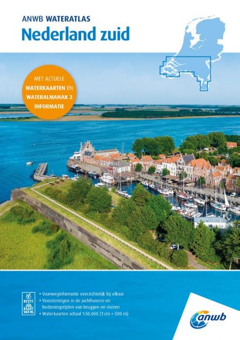
The ANWB Water Atlas Netherlands South provides detailed nautical charts and essential almanac data for southern Dutch inland waters, compiled in a robust, ring-bound atlas for intensive use on board.
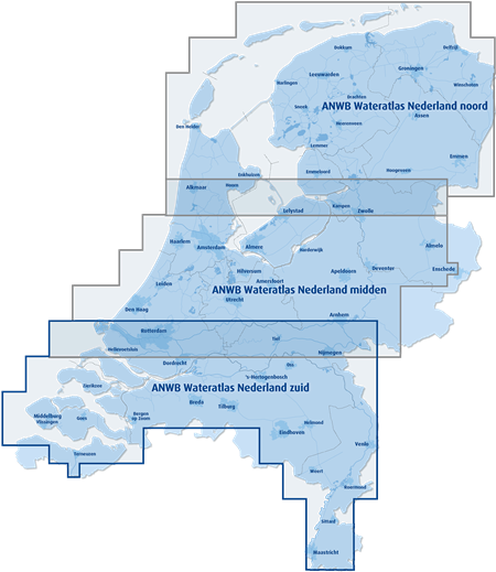
Coverage: Zeeland, North Brabant, Limburg and parts of South Holland, Utrecht, Brabant and Gelderland, including the Zeeland and South Holland Deltas and adjacent coastal waters
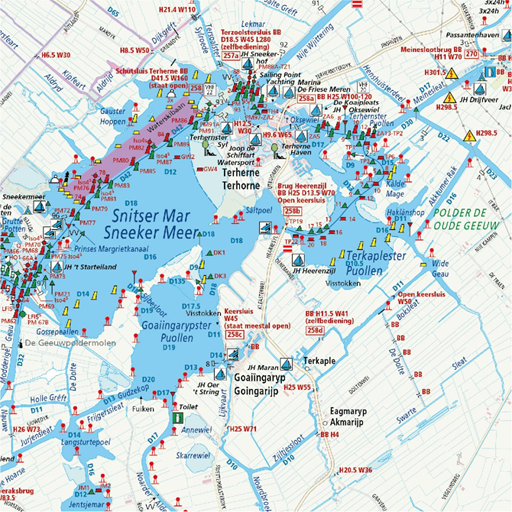
Scale & presentation: Water maps at 1:50,000 (1 cm = 500 m) with clear cartography and logical area division
Standing Mast Route: Dedicated information for routes through South Holland and the Zeeland Delta
Facilities overview: Marinas, moorings, fuel points, clubs, trailer ramps, boarding places, anchorages and service locations
Integrated reference: Replaces several ANWB Water Maps (West Brabant, Zeeuwse Delta, Biesbosch, Noord-Brabant, Limburgse Maas) and includes core data from ANWB Water Almanac part 2
Designed as a reliable planning and navigation resource for pleasure and commercial craft operating in the south of the Netherlands.