Skip to product information
1 of 3

ANWB

ANWB Wateratlas Nederland Noord

ANWB Wateratlas Nederland Noord

SKU:ANWBNOORD

Regular price £37.99 GBP
Regular price Sale price £37.99 GBP
Sale Sold out
UK taxes included where applicable. Export prices are excluding VAT. Shipping calculated at checkout.

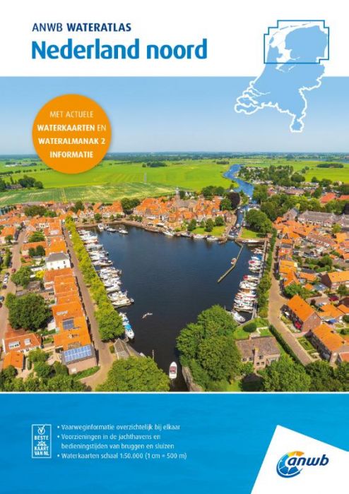
Navigate the northern Dutch inland waterways with confidence using the ANWB Water Atlas Netherlands North, combining detailed water charts and essential almanac data in one practical spiral-bound volume.

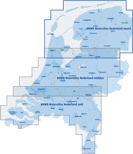
  • Coverage: Friesland, Groningen including the Wadden Sea, parts of Kop van Noord-Holland, Drenthe and Kop van Overijssel
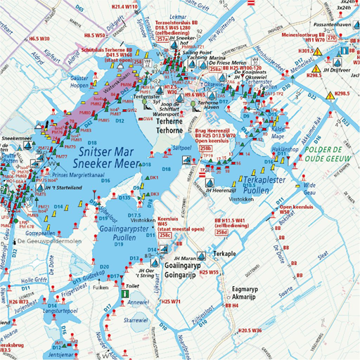
  • Scale & clarity: Water maps at 1:50,000 (1 cm = 500 m) with logical layout and clear cartography
  • Comprehensive data: Waterway depth, buoyage, fairways, obstacles, landmarks and passage dimensions
  • Facilities overview: Marinas, moorings, fuel points, clubs, trailer ramps, boarding places, anchorages, sewage stations and diving locations
  • Operational info: Maximum speeds, maximum draft, bridge and lock locations with operating times
  • Integrated reference: Combines ANWB Water Maps 1, 2, 3, 20 and key data from ANWB Water Almanac part 2

Ideal as a reliable planning and on-board reference for canoes, kayaks, yachts, sailing and motorboats on northern Dutch waters.

View full details
Your cart
Product Product subtotal Quantity Price Product subtotal
ANWB Wateratlas Nederland Noord
ANWB Wateratlas Nederland NoordANWBNOORD
£37.99/ea
£0.00
£37.99/ea £0.00