UK taxes included where applicable. Export prices are excluding VAT.
Shipping calculated at checkout.
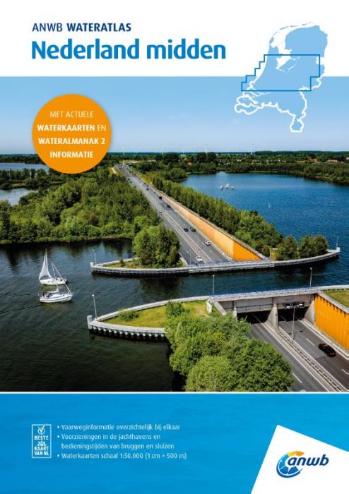
The ANWB Water Atlas Netherlands Central offers precise waterway charts and key almanac data for central Dutch inland waters, in a durable spiral-bound atlas for everyday use on board.
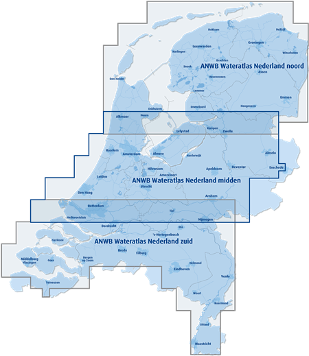
Coverage: Utrecht, Flevoland (including Randmeren and Markermeer), major parts of Drenthe, Overijssel, Gelderland, North and South Holland plus coastal waters
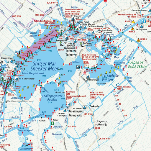
Scale & layout: Water maps at 1:50,000 (1 cm = 500 m) with logical division of sailing areas
Operational information: Bridge and lock locations with operating times, maximum speeds and depth data
Facilities & services: Marinas, moorings, fuel points, clubs, trailer ramps, boarding places, anchorages and service points
Standing Mast Route: Detailed information for the route through the Randstad and central Netherlands
Integrated reference: Replaces multiple ANWB Water Maps (including Randmeren, Hollandse Plassen and Amsterdam) and incorporates key data from ANWB Water Almanac part 2
A comprehensive, user-friendly tool for planning and navigating central Dutch waterways with canoes, kayaks, yachts, sailing and motorboats.