UK taxes included where applicable. Export prices are excluding VAT.
Shipping calculated at checkout.
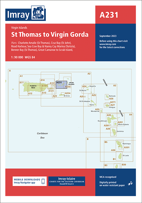
Imray nautical chart A231 covers St Thomas to Virgin Gorda, providing detailed navigation data for the US and British Virgin Islands’ central cruising areas.
Area coverage: Main routes between St Thomas, St John and Virgin Gorda for yachts and small craft
Detailed plans: Charlotte Amalie, Cruz Bay, Road Harbour/Sea Cow Bay/Nanny Cay Marina, Benner Bay, Great Camanoe to Scrub Island (1:20–1:30 000)
Data quality: Combines latest official hydrographic information with long-term Imray-Iolaire field research
Durability: Printed on water-resistant Pretex paper for reliable cockpit use
Widely regarded as a leading Caribbean cruising chart with extended anchorage and facility detail.