Imray
SKU:YOT0920
Regular price
£23.95 GBP
Regular price
Sale price
£23.95 GBP
UK taxes included where applicable. Export prices are excluding VAT.
Shipping calculated at checkout.
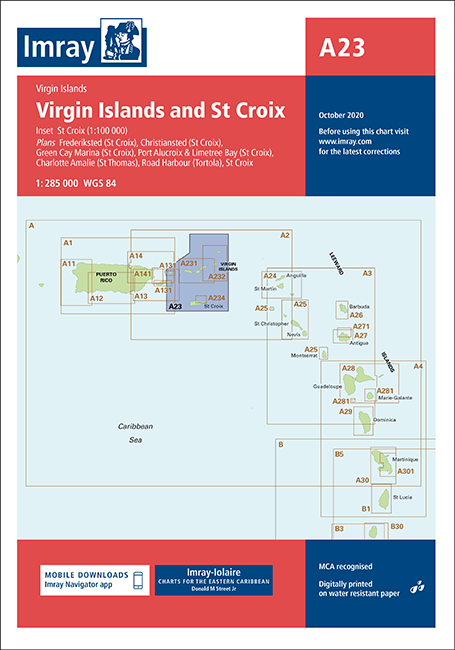
Imray A23 Virgin Islands and St Croix offers broad-area coverage for passage planning across the Virgin Islands and St Croix.
- Regional overview: Main chart with inset of St Croix at 1:100,000 for wider route planning
- Key harbour plans: Christiansted, Port Alucroix & Limetree Bay, Frederiksted, Green Cay Marina, Road Harbour and Charlotte Amalie
- Practical for cruisers: Combines principal approaches and ports used by yachts and small craft
- Clear cartography: Imray styling for easy reading of soundings, aids to navigation and coastline detail
- Versatile use: Ideal as a planning chart, complemented by larger-scale Imray harbour charts where needed
A reliable, feature-rich Imray chart for navigating between the Virgin Islands and St Croix.
Share
View full details