Imray
SKU:YOT0859
Regular price
£59.95 GBP
Regular price
Sale price
£59.95 GBP
UK taxes included where applicable. Export prices are excluding VAT.
Shipping calculated at checkout.
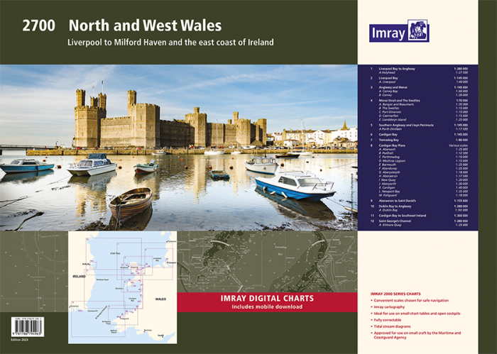
The Imray 2700 North and West Wales chart pack provides full coverage from Liverpool Bay and Anglesey to Cardigan Bay and routes to Ireland.
- 13 A2 chart sheets supplied in a sturdy plastic wallet
- Includes latest official UKHO data plus Imray local information
- Covers passage, approach and mooring for North and West Wales and Irish Sea routes
- Designed to complement Irish Sea Pilot and Cruising Anglesey pilot books
- Detailed harbour and river plans for key ports and anchorages from Liverpool to St David’s
- Includes voucher for mobile download of corresponding Imray digital charts
A practical North and West Wales atlas for small craft navigation and Irish Sea crossings.
Share
View full details