Imray
SKU:YOT0858
Regular price
£59.95 GBP
Regular price
Sale price
£59.95 GBP
UK taxes included where applicable. Export prices are excluding VAT.
Shipping calculated at checkout.
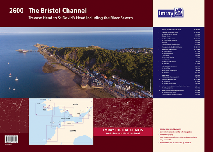
The Imray 2600 Bristol Channel chart pack is a complete nautical atlas for navigation from Trevose Head and Padstow to the Severn and Milford Haven.
- 12 sheets covering approaches, coastal routes, rivers and key ports
- Enhanced specification with coloured light flashes for clearer night navigation
- Incorporates latest UKHO data and Imray local detail
- Includes Milford Haven and River Cleddau to Haverfordwest (also on Y26)
- Harbour and river plans for Bristol Channel ports, marinas and anchorages
- Includes voucher for free mobile download of corresponding Imray digital charts
A reliable Bristol Channel charts solution for coastal passages and detailed pilotage.
Share
View full details