UK taxes included where applicable. Export prices are excluding VAT.
Shipping calculated at checkout.
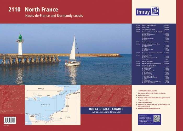
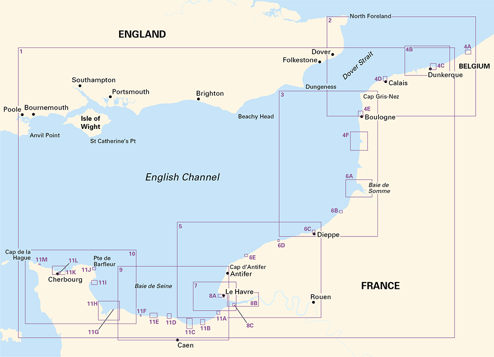
The Imray 2110 North France chart pack provides clear coverage of the Hauts‑de‑France and Normandy coasts, from the Eastern English Channel through the Dover Strait to Cherbourg. Designed for small craft, it combines passage charts, coastal plans and tidal data in one A2 pack.
Fully revised with latest UKHO, SHOM and Belgium hydrographic data for reliable navigation
Includes Eastern English Channel and Dover Strait overview charts for route planning
Detailed plans for Nieuwpoort, Dunkerque, Calais, Boulogne, Dieppe, Le Havre, River Seine and Cherbourg
Covers key cruising areas including Baie de Somme, Baie de Seine and the Calvados/Manche coast
Supplied in a durable plastic wallet for protection at the chart table and on deck
Includes voucher code for free download of corresponding Imray digital charts in the Imray Navigator app
Equip your vessel with this focused North France atlas for accurate passage, approach and harbour entry.