1
/
of
1
Imray
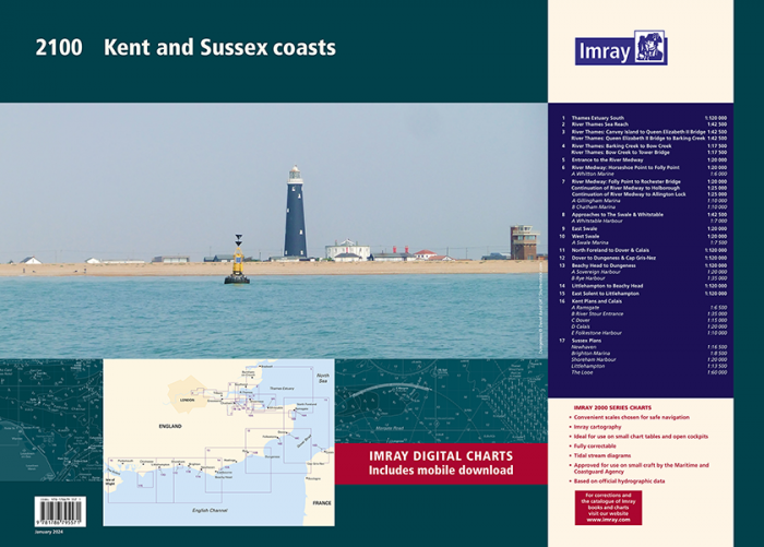
Imray Chart Pack - 2100 Kent and Sussex Coasts
Imray Chart Pack - 2100 Kent and Sussex Coasts
SKU:YOT0851
Regular price
£59.95 GBP
Regular price
Sale price
£59.95 GBP
UK taxes included where applicable. Export prices are excluding VAT.
Shipping calculated at checkout.
Navigate the Thames Estuary and the Kent and Sussex coasts with confidence using the Imray 2100 Chart Pack. Ideal for yachts and motorboats, this A2 atlas combines clarity, coverage and professional-grade data for safe coastal cruising.
- Comprehensive coverage: Thames Estuary, River Thames (Sea Reach to Tower Bridge), Medway, Swale and North Foreland to East Solent
- Up-to-date data: Fully revised with latest UKHO information plus Imray local source updates for small craft
- Practical format: Handy A2 charts supplied as a pack for easy use in small chart tables and cockpits
- Detailed plans: Includes key harbours and marinas such as Whitstable, Ramsgate, Dover, Brighton, Chatham and Gillingham
- Digital access: Voucher included for free download of corresponding Imray digital charts in the Imray Navigator app
A reliable, professional chart solution for regular East and South Coast cruising.
Share