UK taxes included where applicable. Export prices are excluding VAT.
Shipping calculated at checkout.
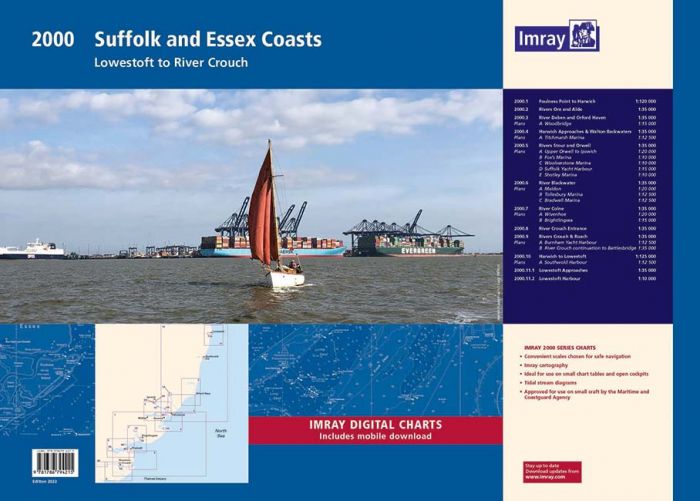
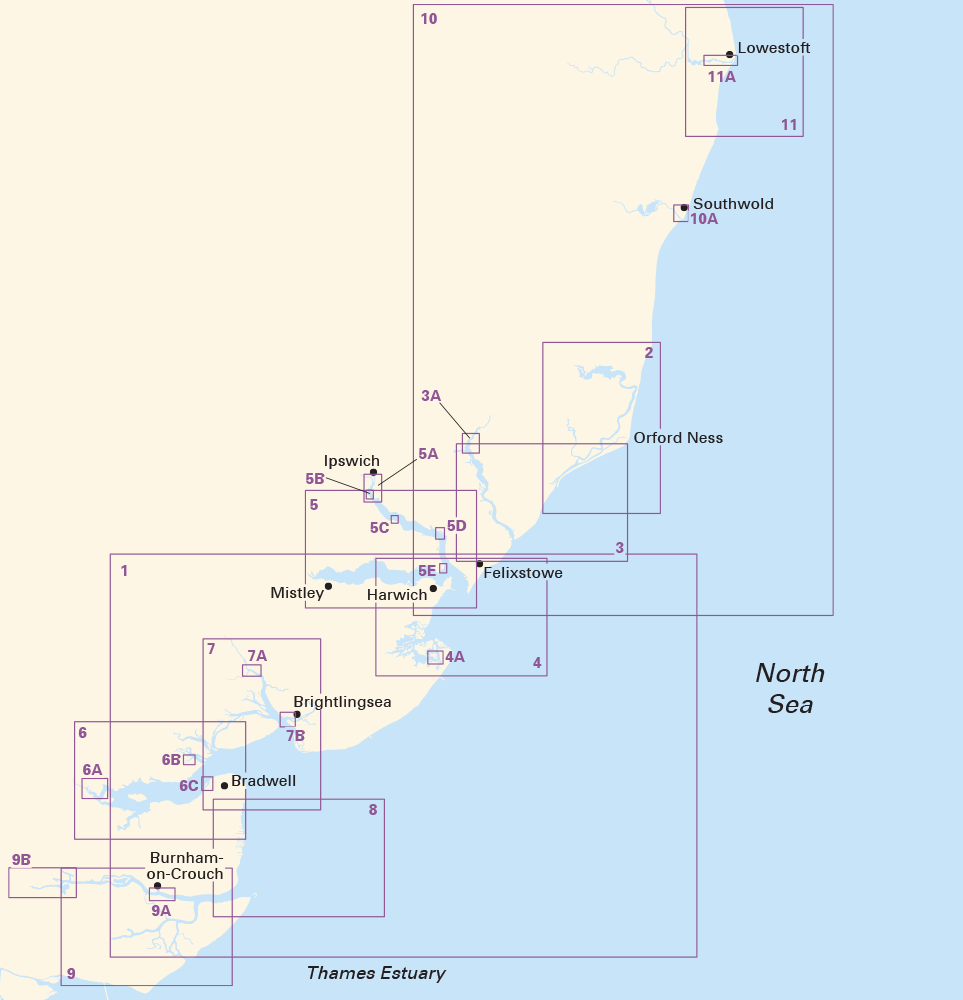
The Imray 2000 Suffolk & Essex Coasts Chart Pack provides all the key paper charts you need from the River Crouch to Lowestoft in a convenient A2 format. Designed for East Coast sailors who demand accurate, practical navigation resources.
Extended coverage: Rivers Crouch, Roach, Blackwater, Colne, Stour, Orwell, Deben, Ore, Alde and Harwich to Lowestoft
Updated edition: Fully revised with latest UKHO data and Imray local input for small craft navigation
11 chart sheets: Redesigned pack with improved coverage of Lowestoft and its approaches
Harbour and marina plans: Detailed inserts for key marinas and upper river sections to assist with approaches and berthing
Durable wallet: Supplied in a sturdy plastic wallet for protection on board and easy stowage
Digital integration: Includes voucher for free download of matching Imray digital charts in the Imray Navigator app
A trusted, feature-rich chart pack to support safe passage, approach and mooring along the Suffolk and Essex coasts.