UK taxes included where applicable. Export prices are excluding VAT.
Shipping calculated at checkout.
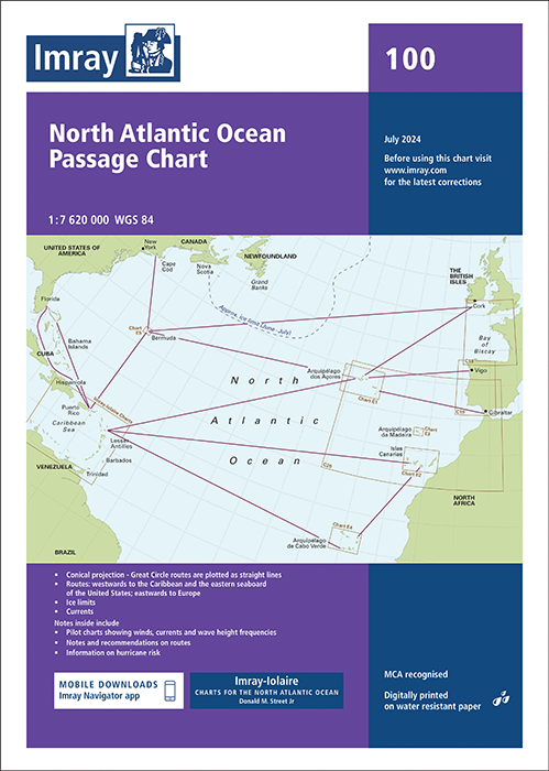
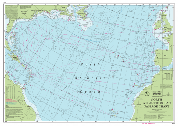
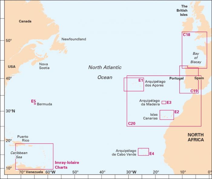
Imray 100 North Atlantic Ocean Passage Chart is a long‑range planning tool for ocean sailors, covering routes from Brazil to Newfoundland and Gibraltar to the Caribbean at 1:7,620,000.
Projection: Conical projection allows Great Circle routes to be plotted as straight lines
Ocean data: Shows principal depth contours, ice limits, magnetic variation and key routes
Expert routes: Includes recommended passages identified by Donald M. Street Jr.
Pilot booklet: Enclosed booklet with pilot charts for winds, currents and wave heights
Seasonal insight: Notes on optimal timing, weather patterns and hurricane risk
Updated info: Magnetic variation data now referenced via web link; seasonal diagrams revised
A core reference for Atlantic yacht passages and strategic route planning.